BENBULBEN - Guided Hiking up Benbulben
About
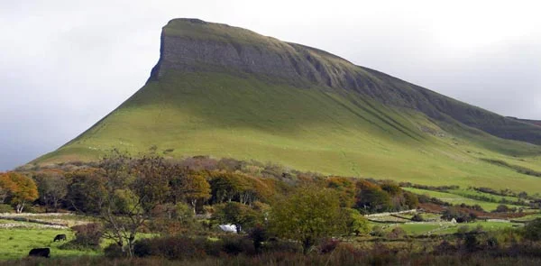
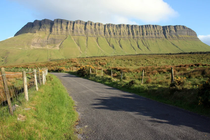
Benbulben is an iconic Sligo mountain also known as County Sligo's "Table Mountain". It is part of the Dartry Range. It stands at 526m above sea level.
Benbulben is named after a Gaelic chieftain and means Gulban's Head. It is the western point of the Dartry Mountains, a large and bulky collection of heads and glaciated valleys. The mountain is formed from Dartry limestone, a hard limestone filled with the fossels of sea creatures. The dramatic and unusual shapes of Benbulben, Benwisken and Eagle's Rock were sculpted by glaciers during the last ice age.
Benbulben hosts a unique variety of plants found nowhere else in Ireland. Many are arctic in origin. Researchers from NUI Maynooth, using DNA sampling have recently discovered that Fringed Sandwort which is found on the plateau predates the Ice Age.
High up on the North Face Gullys of Benbulben a rare plant known as Tea Leaf Willow or Irish Willow grows and dates back to the Ice age. This plant is unique to Benbulben and in not found anywhere else in Ireland
Experience
Guided hike on Benbulben
This is our most popular hike
Stunning views and amazing scenery
Half and full day options available
Flora and Fauna.
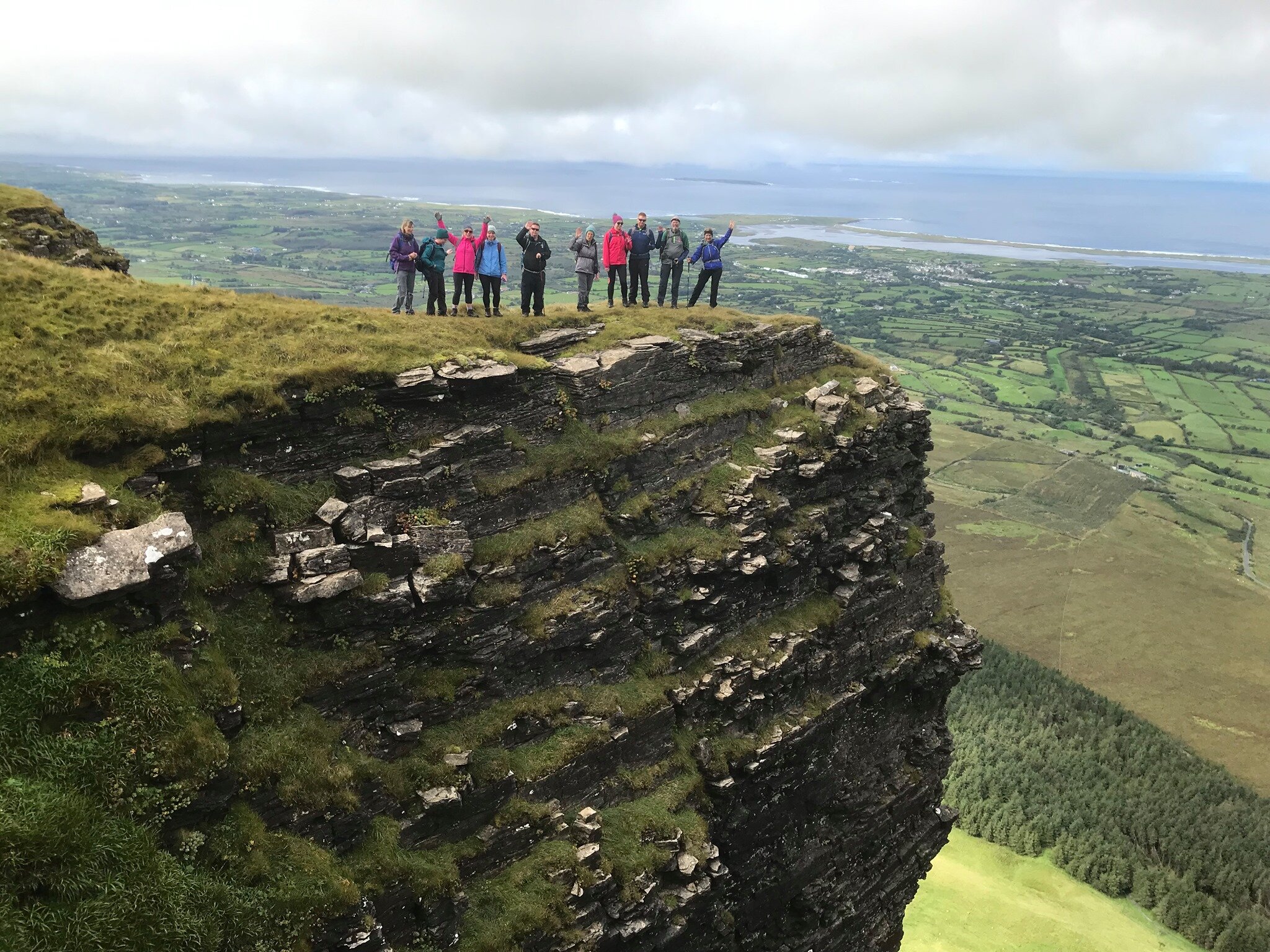
You will climb Benbulben and get a birds eyes view of Yeats Country and final resting place of Sligo's famous poet WB Yeats. On a day with good visibility you will enjoy stunning views of Donegal Bay, Slieve League and the Blue Stacks Mountains in County Donegal. Further afield it is possible to see Croaghpatrick in County Mayo emerging in the horizon.
The hike to Benbulben commences at Lukes Bridge and the ascent route climbs gently up the gully and to the summit plateau. We will visit a magnificant cave at Cartronwilliamoge on our way to Benbulben Trig and after a short trek we arrive at the head where we will feast on the stunning views of the surrounding countryside and enjoy some well deserved refreshments before returning back to the valley.
Equipment Required
Good waterproof boots and waterproof clothing are essential – without these items you will regrettably be excluded from participating; walking trousers are advised or comfortable athletic clothing, (no jeans please); spare warm layer; hat and gloves; lunch and/or snacks; water or juice drink, (1.5 litres); small rucksack to carry it all in.
AVAILABILITY: Year Round
TRAIL LENGTH: 4 to 5 hours Round Trip
DIFFICULTY: Moderate
Map: OSI 1:50k Mapsheet 16
Guiding COST
€30pp (based on group of 12)
For small private groups POA
Hiking Benbulben - "Underneath Benbulben's head" -WB Yeats.
Benbulben North Face - On our way to climb to the summit
Guided Hiking on Benbulben - View of Benwiskin through the rainbow
Hiking on Benbulben - Ruth enjoying the views of Yeat's Country and Knocknarea in the distance
Exploring Cave at Cartonwilliamoge on Benbulben with High Hopes Hiking
Tomasz and Agata enjoying hiking on Benbulben with High Hopes Hiking
The Rare "Tea Leaf Willow" plant found on North Face Gully Benbulben, overlooking the Gortarowey Walk. This rare Irish Willow is only found on Benbulben and is a relic from the Ice Age.
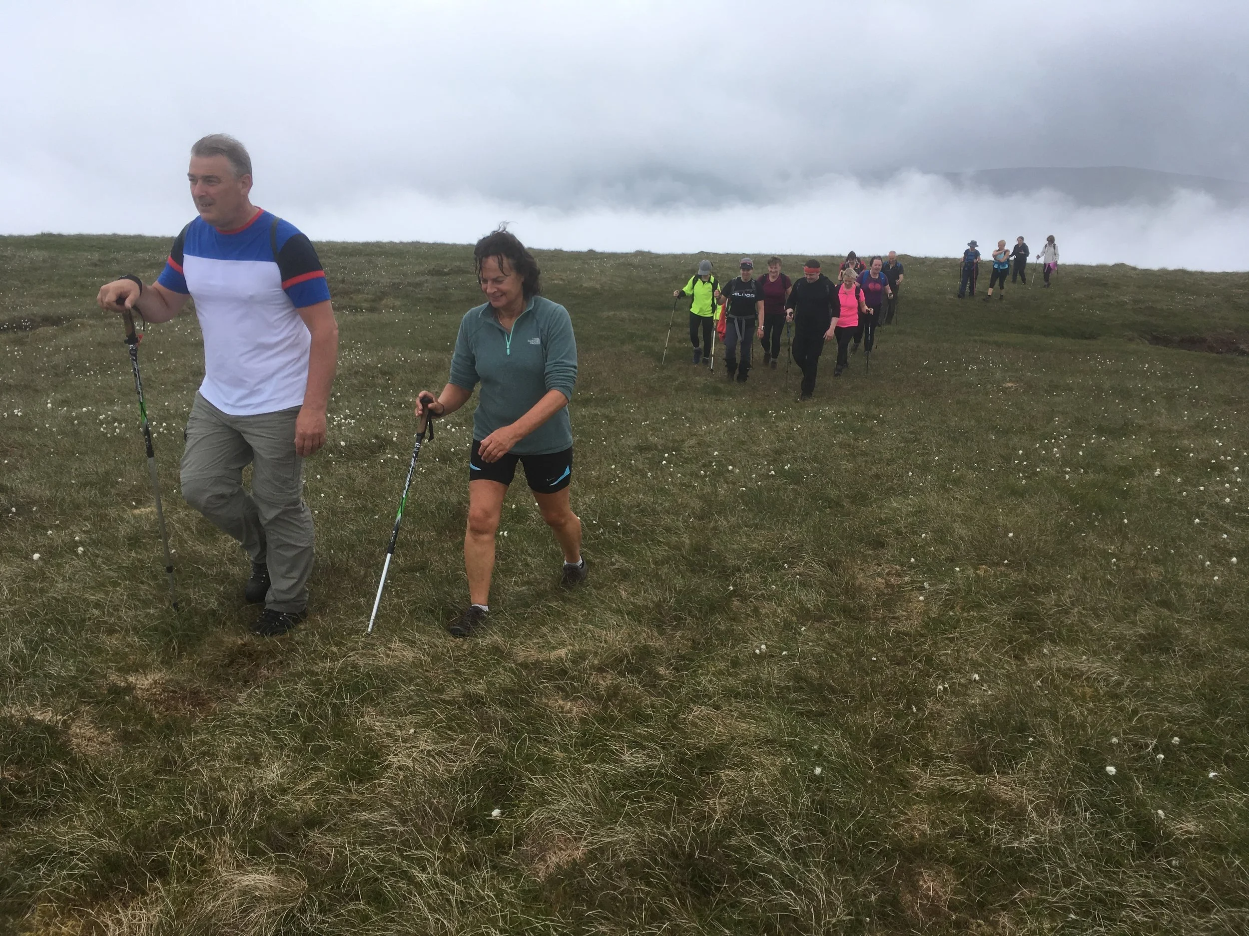
"Ring in the new year on a High Note" - 2nd January 2017. A happy group of 49 hikers enjoying some beautiful winter sun climbing to the top of Benbulben. A great way to start off the new year with a guided hike with High Hopes Hiking. Happy New Year.
Another group of happy hikers ready to climb Benbulben with High Hope Hiking.
The happy hikers enjoying the March sunshine after climbing Benbulben today with High Hopes Hiking. Congratulations.
Congratulations to Denise and Aoife who climbed Benbulben today with High Hopes Hiking
Bernie Mary Martina and Therese enjoying success of having climbed Benbulben with High Hopes Hiking. Well done ladies. You sure took advantage of the "window of opportunity"
Benbulben Head
North face of Benbulben with Benwiskin in the background
Benbulben North Face spur


